Improving Meta’s global maps
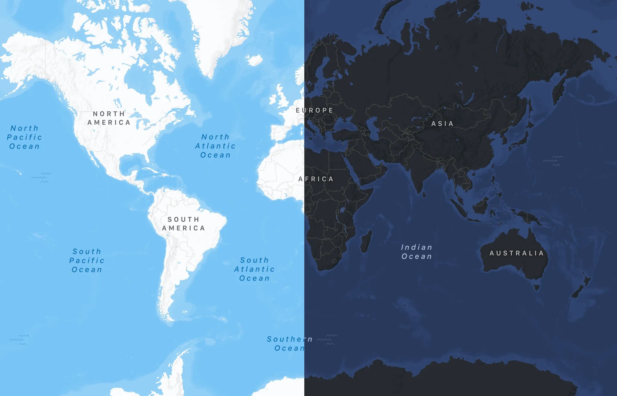
This post details significant upgrades to Meta's global basemap system over the past two years. Key technical contributions include the launch of raster-first basemaps alongside vector maps for improved rendering performance across devices, the integration of the Daylight distribution from OpenStreetMap and the creation of Earth Tables for simplified OSM tag handling, and the introduction of AI-based translations for map labels. Cartographic design improvements include a softened color palette, deprioritization of roads to emphasize community spaces, and the addition of detailed pavement data and iconography for points of interest. The system is also evolving to incorporate data from the Overture Maps Foundation and explore 3D geospatial data.