Working with Geospatial Features in MySQL
Jan 25, 2024Savannah Longoria
Summary
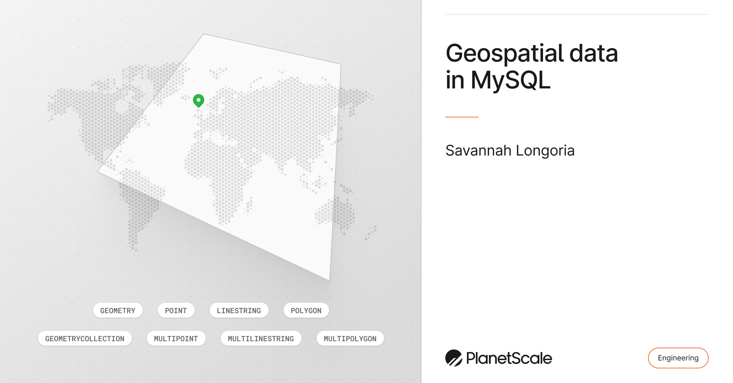
This post introduces the representation and querying of geospatial features within MySQL. It details MySQL's spatial data types (POINT, LINESTRING, POLYGON, etc.), supported spatial data formats (WKT, WKB, internal with SRID), and provides examples of creating tables with spatial columns and using spatial functions like ST_GeomFromText, ST_X, ST_Y, ST_Distance, ST_Contains, ST_Intersects, ST_Buffer, ST_Union, and ST_Difference. It also highlights MySQL 8's improved support for spatial reference systems (SRID) and spatial indexing.