A new way to survey potential fiber routes — without access to paved roads
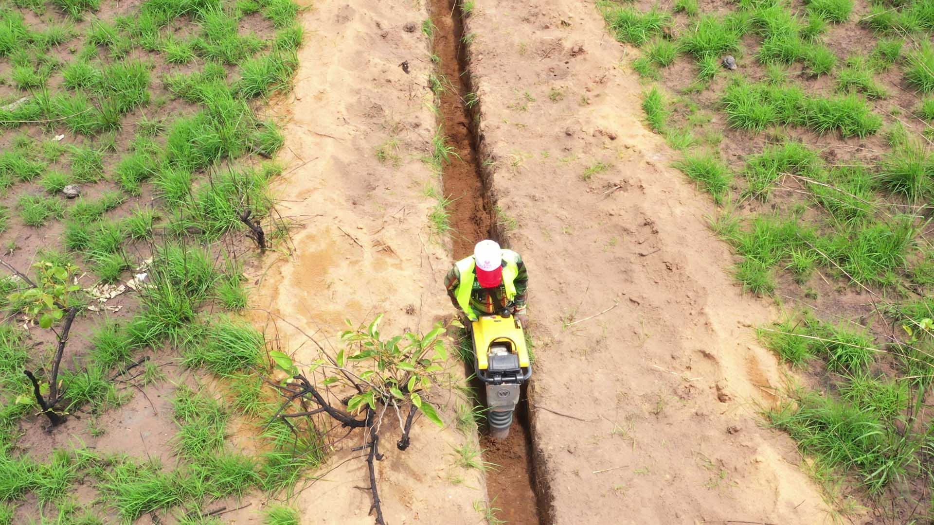
This post introduces a novel technique for optical fiber route surveys in areas with limited paved roads, specifically in the Democratic Republic of the Congo. The method combines dynamic cone penetrometers (DCP) with gamma-ray spectrometers mounted on a high-clearance 4x4 vehicle. DCP provides localized soil density data, while spectrometers offer broader soil composition and heterogeneity analysis. By using a small set of DCP tests to calibrate a larger volume of spectrometer data, the process minimizes the need for extensive on-the-ground testing. This approach, integrated with mobile GPS data for obstacle and sensitive area identification, allows for detailed geographical information system maps with soil condition data without extending survey timelines. This innovation aims to reduce cost risk and improve the financial viability of fiber projects in emerging markets.
More from the Internet Connectivity Expansion and Infrastructure trail
- Escaping the Fork: How Meta Modernized WebRTC Across 50+ Use Cases
- Announcing the Completion of the Core 2Africa System: Building the Future of Connectivity Together
- 10X Backbone: How Meta Is Scaling Backbone Connectivity for AI
- Introducing the Candle Subsea Cable, Updates to Our Asia-Pacific Connectivity Projects
- Extending the Malbec subsea cable to Southern Brazil