Open population datasets and open challenges
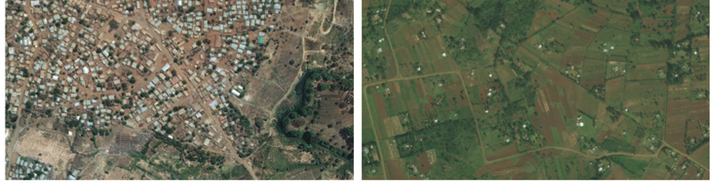
This post details the creation and public release of high-resolution population datasets derived from satellite imagery and computer vision techniques. It describes the technical approach of using convolutional neural networks to identify buildings globally, the trade-offs made for scalability, and the collaboration with Columbia University and the World Bank for population estimation and validation. It also presents an analysis of population aggregation near urban areas using clustering algorithms and discusses the implications for designing communication technologies that can bridge distances up to 63 km to connect 99% of the population in analyzed countries. The post highlights the use of these datasets for humanitarian aid and disaster response planning.
More from the Internet Connectivity Expansion and Infrastructure trail
- Escaping the Fork: How Meta Modernized WebRTC Across 50+ Use Cases
- Announcing the Completion of the Core 2Africa System: Building the Future of Connectivity Together
- 10X Backbone: How Meta Is Scaling Backbone Connectivity for AI
- Introducing the Candle Subsea Cable, Updates to Our Asia-Pacific Connectivity Projects
- Extending the Malbec subsea cable to Southern Brazil